Here are 11 interesting features to look out for on a walk around the Rhossili coast.
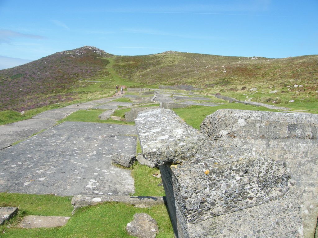
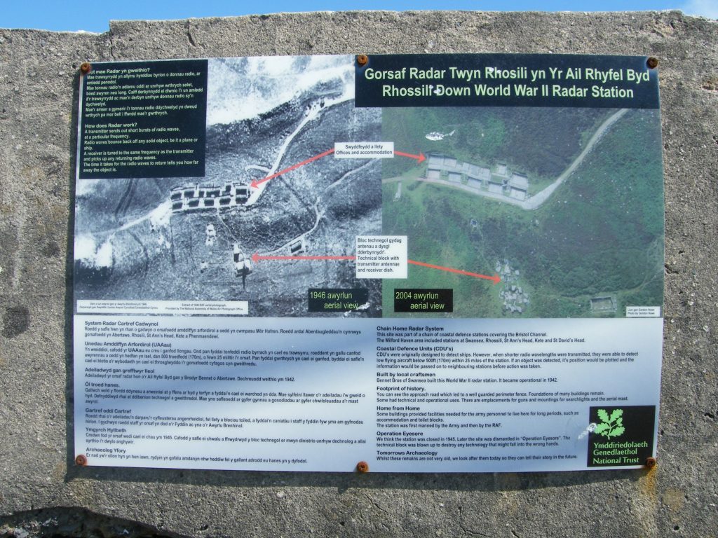
1. World War 2 Radar Station
The remains of the Radar Station at Rhossili can be found on Rhossili Downs, above the coast path towards Hill End, just past Sweyne’s Howes Burial chambers (Grid Reference: SS4189). It was part of Chain Home Low, a British early warning system of a group of radar stations covering the Bristol Channel. They were used to detect low flying aircraft at 500 feet (150 m). The Rhossili station was in use between 1942 & 1945 by the Army and RAF. It was decommissioned in 1945 and destroyed. Today, just the concrete bases of the buildings and the access road remain.
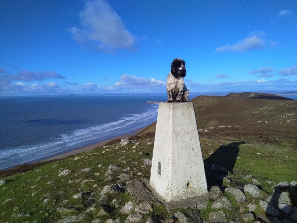
2. The Trig Point
The Beacon, or Trig point, is the highest point in Gower at 193m above sea level and so offers panoramic views (weather permitting!). It is part of the network of trig points (triangulation pillars) built by the Ordnance Survey Agency to map the country in the 1930s. Each trig point has a direct line of site from one to the other.

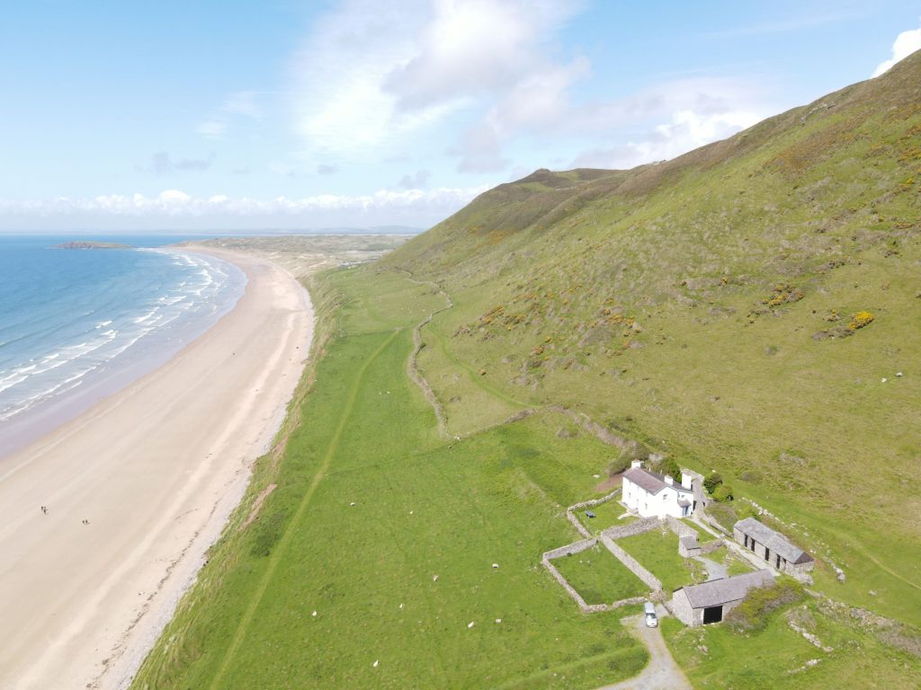
3. The Old Rectory
The Old Rectory is a Grade II listed building on the Warren, immediately above Rhossili Bay and thought to be located at the site of the original church and village. The house itself was built in the 1850s, within an enclosure of other, older buildings thought to date back to the 1700s. The Rector managed the two parishes of St Mary’s and St Cenydd’s at Llangennith so decided to build a rectory midway between the two. It is now managed by the National Trust as a holiday home.
https://britishlistedbuildings.co.uk/300022781-rhossili-old-rectory-rhossili#.Y4_E3XbP3M0
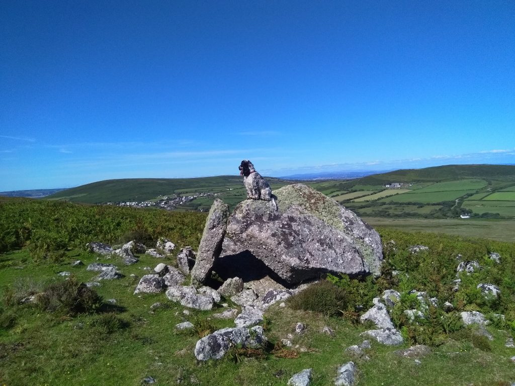
4. Sweyne’s Howse
Sweyne’s Howes are two neolithic burial chambers on Rhossili Downs above the Radar station. The Northern tomb, made from local stone (quartz conglomerate), comprises an inner and outer cairn, with a ruined chamber made with two large upright slabs. The header slab has fallen behind it. The second chamber is close by but is much less well preserved and more a scattering of rocks.
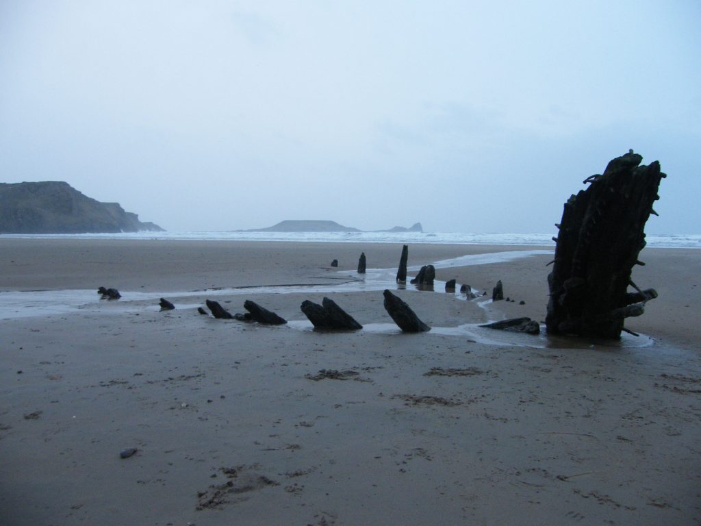
5. The Helvetia Shipwreck
The Helvetia was a Norwegian 3-masted sailing ship travelling from Canada to Swansea in 1887, carrying 500 tonnes of wood. Waiting off Mumbles for a pilot to guide her into Swansea harbour, worsening weather she was forced to slip anchor but ran dangerously close to the Helwick sand bank. To escape the worst of the gales, she rounded Worms Head to shelter, but a sudden change in wind strength and direction ripped her anchor from the sand and she ran aground. All of the crew made it safely ashore and the cargo was scattered across the beach. Some of the deck boards were used to floor a local farmhouse kitchen! The timber remains of the ship can be seen at low tide on Rhossili bay.
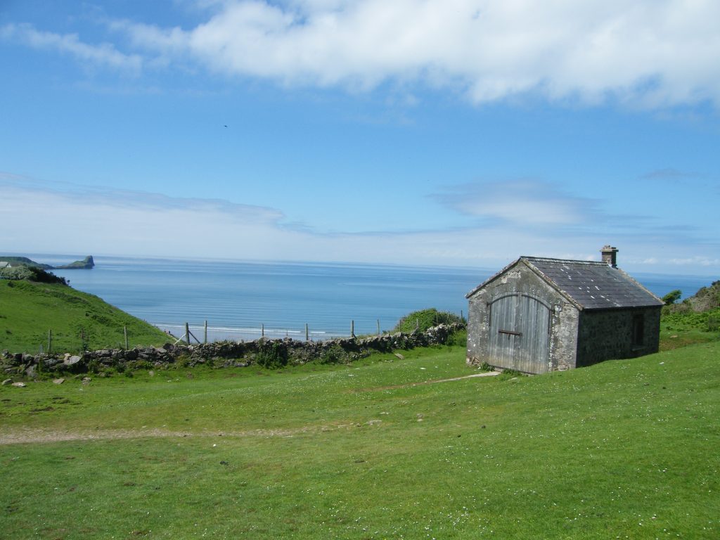
6. The Rocket Station
A relic of the late 19th Century Coastguard service, the Rocket House is a Grade II listed building completed in 1878 to house life-saving apparatus and rocket flares to signal to ships in distress. There are concrete tracks running from the door. These were for the cart with all the equipment to run out on. It was first launched in 1879 to attend a shipwreck down by the Old Rectory. It sits along the coast path that runs past Little Hill House towards Llangennith.
https://britishlistedbuildings.co.uk/300022782-rocket-cart-shed-rhossili#.Y4-v9nbP3M0
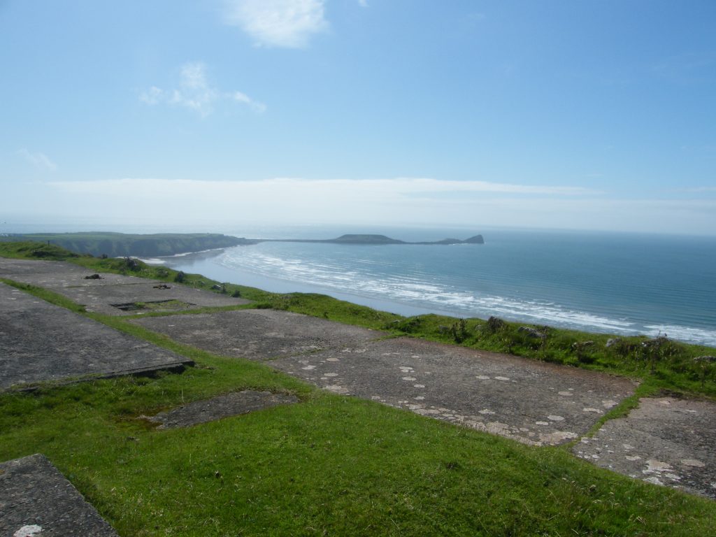
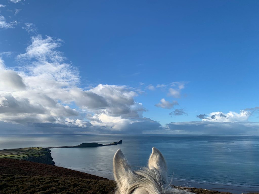
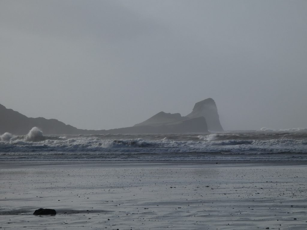
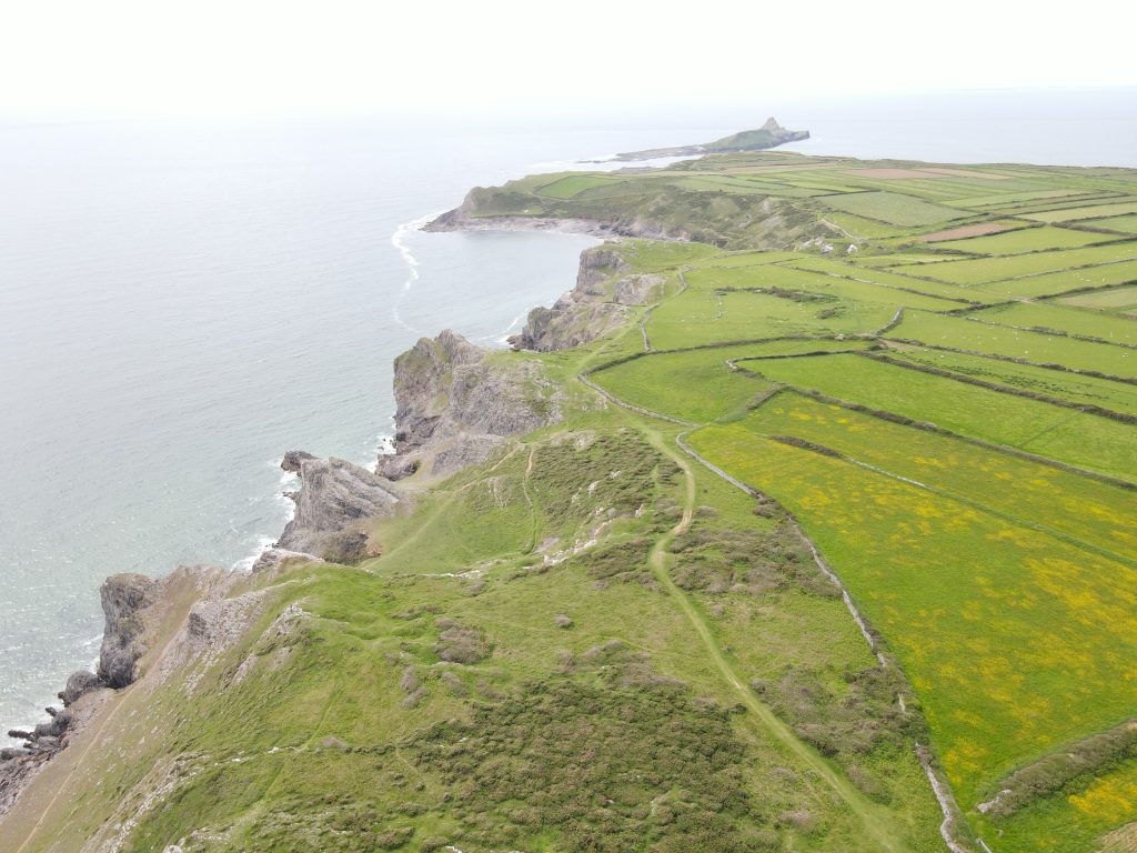
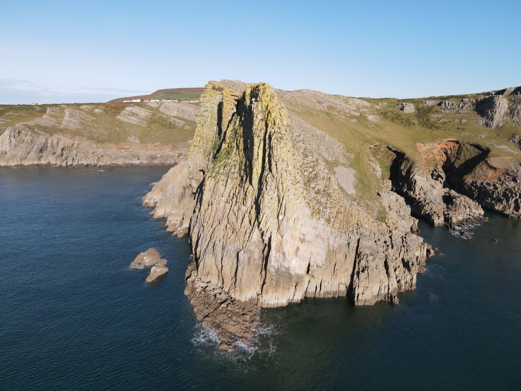
7. The Worm (Ynys Weryn)
The Worm is not really a worm, its name is derived from the Norse word for dragon, ‘wurm’ given to the island by Viking invaders. It is only safe to cross from the headland to the Worm during a 5-hour window 2½ hours either side of low tide over a very rocky causeway called the Shipway. You’ll see the causeway opening times and suitable warnings on the noticeboard before the crossing and the NCI Worms Head coastguard station staff are there to advise.
The Outer Head of the Worm has a blowhole on its south side and is the site of an Iron Age promontory fort.
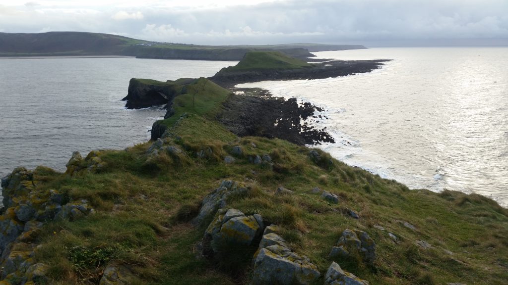
In the centre of the Middle head is the Devil’s Bridge, a natural arch. The Outer Head is closed from 1st March to 31st August to protect nesting seabirds, so you cannot walk its full length then. The seabirds include Herring Gulls, Kittiwake, Razorbills and Guillemots.
Watch this great short video below from BBC Wales about Worm’s Head.
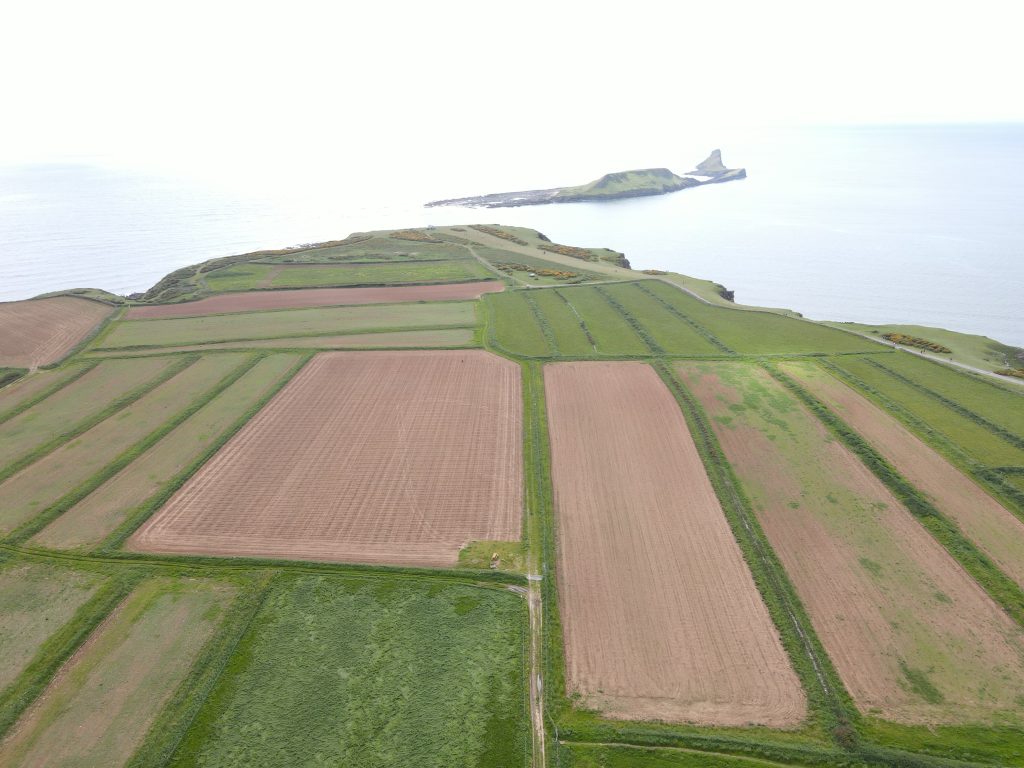
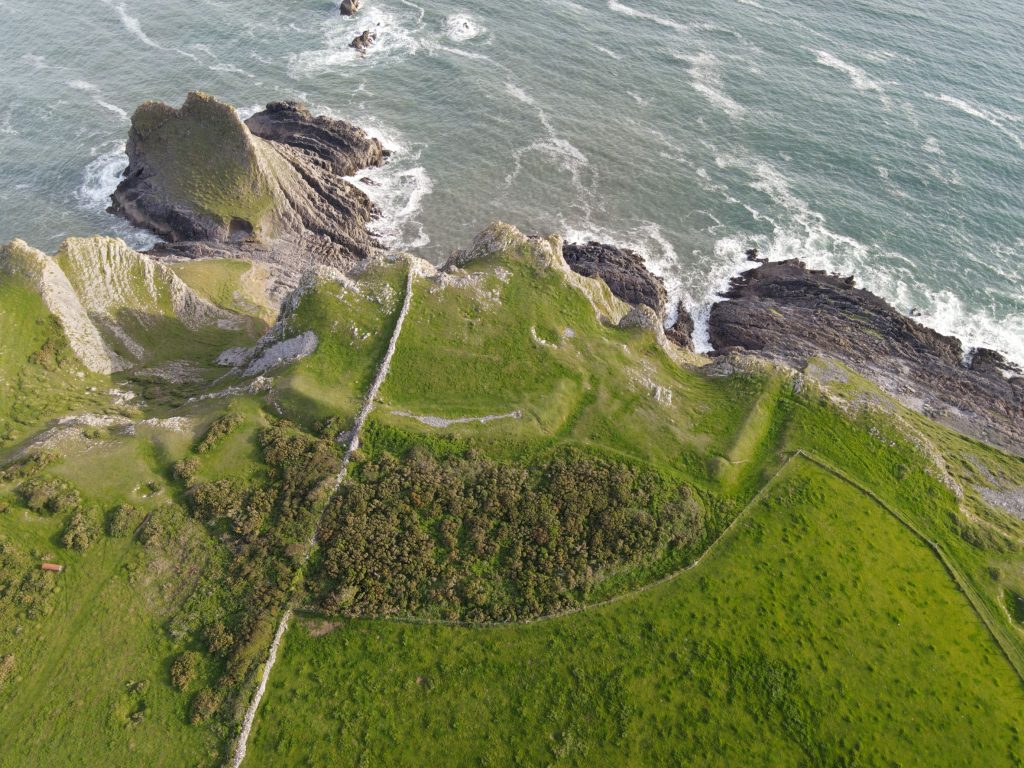
8. The Vile
The Vile is a mediaeval open field system on Rhossili headland comprising strips of land of around 1-1.5 acres each, separated by a variety of boundaries, including drystone walls, low grassy banks and hedgerows. It has been described as “a rare survival of an open field system, a relict of an early kind of communal agriculture which integrated arable and pastoral resources.” [https://coflein.gov.uk/en/site/24333/] There is an interesting article about the Vile in the 2017 annual community newsletter written by Alan Kearsley-Evans of the National Trust (p17-20). The National Trust website details an easy circular walk around the Vile showing photos for each of the key steps along the way.
You can also read more about the history of the Vile here.
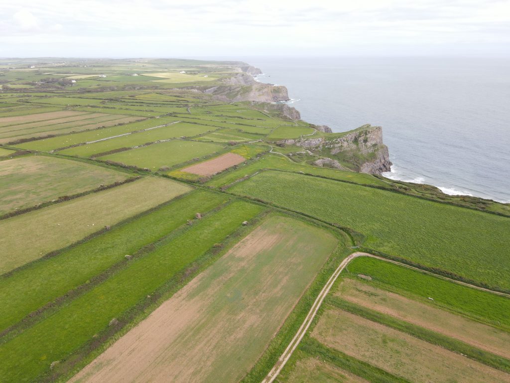
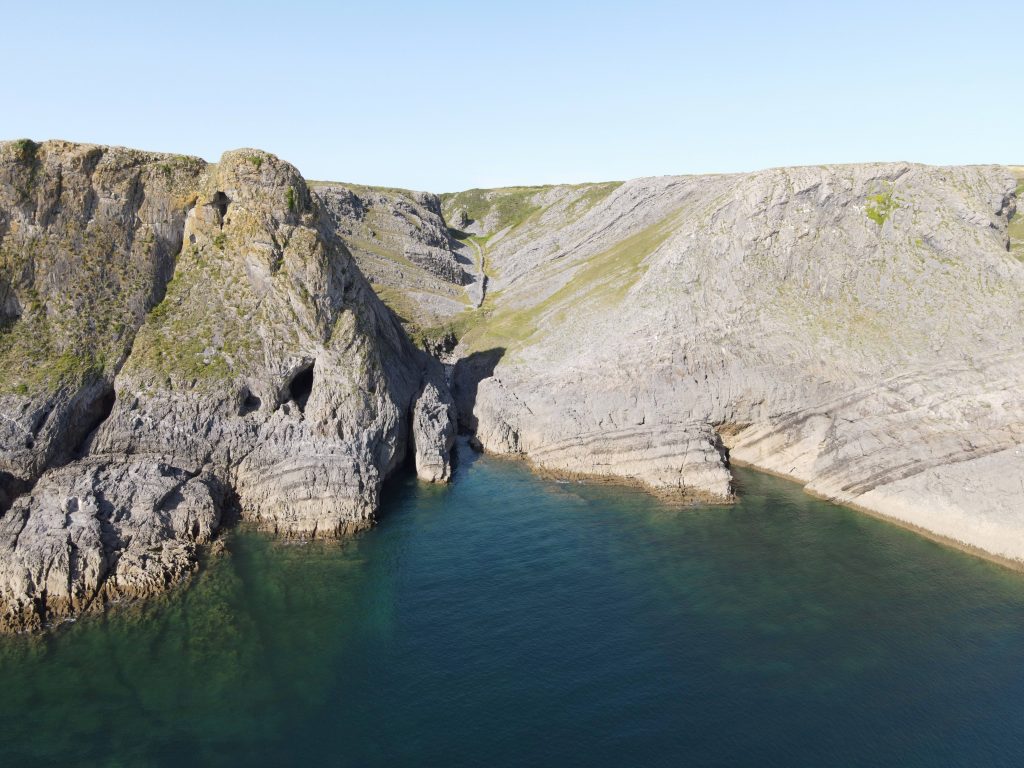
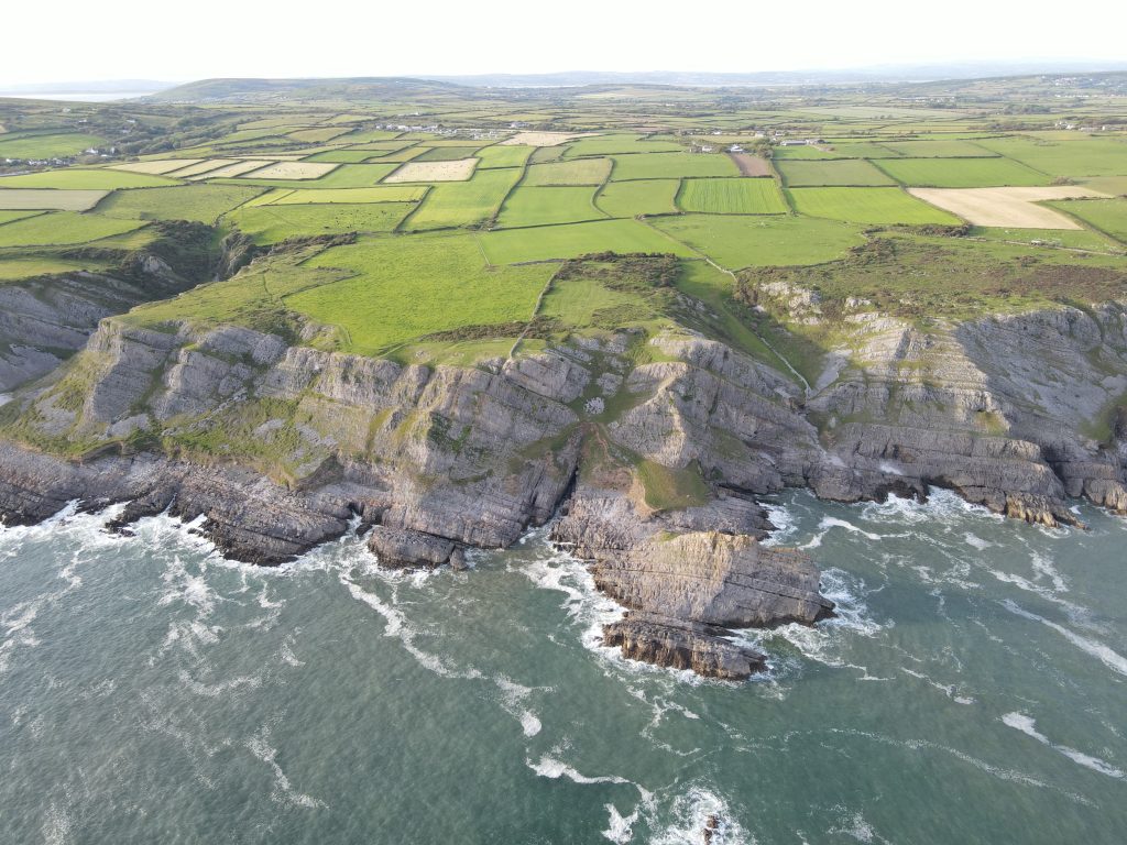
9. Iron Age Forts
There were Iron Age promontory forts located on the clifftops here, at Worms Head, Lewes Castle, Thurba Head and the Knave. Lewes Castle looks down onto Fall Bay and Thurba Head fort is just off the main coast path (see the map).
Worms Head, Lewes Castle, Thurba Head and the Knave are all Iron-age Promontory forts. Lewes Castle looks down onto Fall Bay, Thurba and the Knave follow along the headland as you head east towards Paviland. The forts at Thurba Head and the Knave are the best defined although lime workings at Thurba obscure the details.
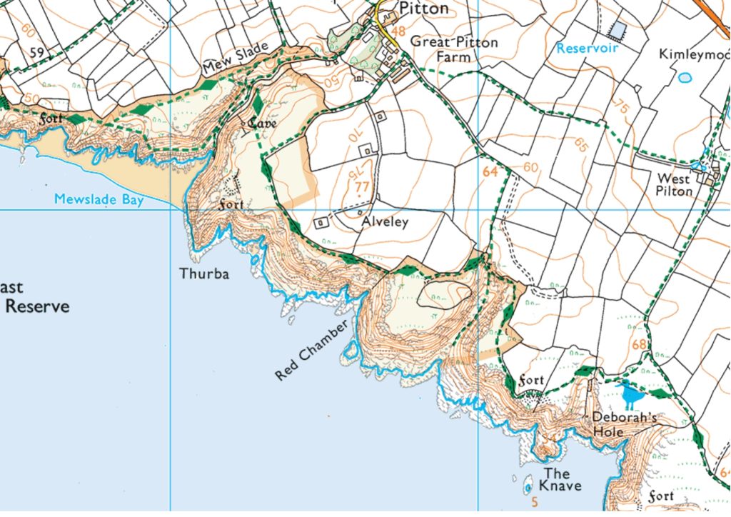
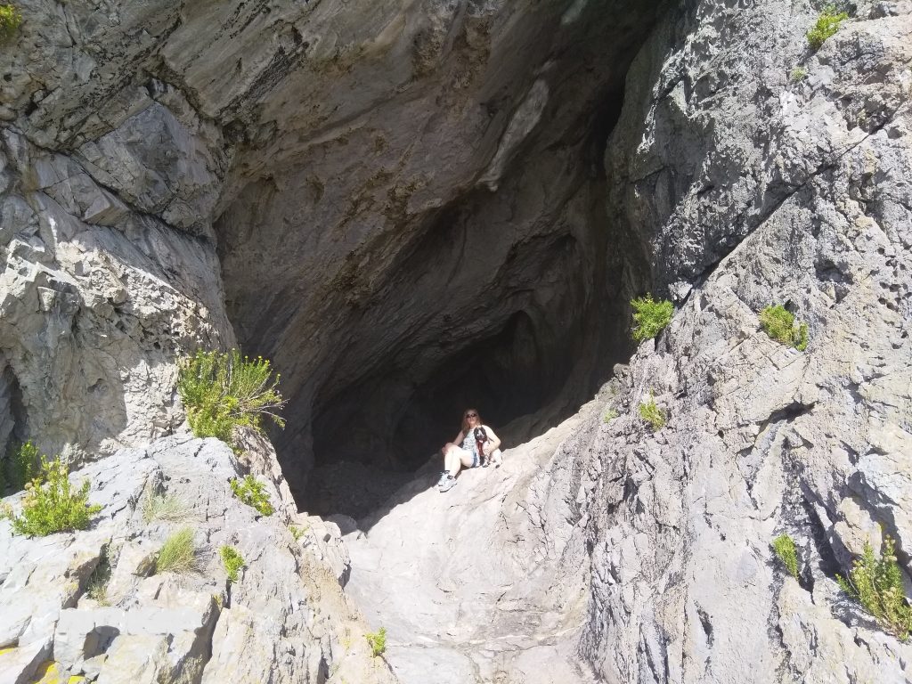
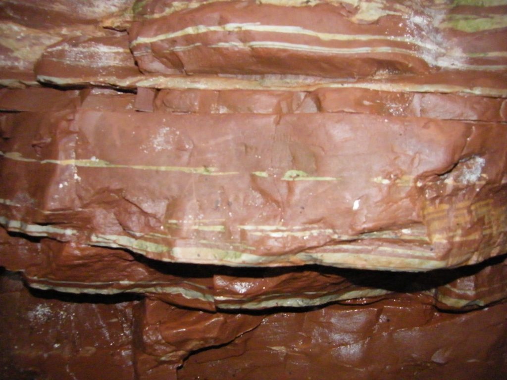
10. The Red Chamber
The Red Chamber is located within a 290-300 million year old faultline just along from Mewslade bay towards Paviland (see map above). The faultline was infilled with Triassic sands and mud and the Red Chamber is at the back of a tidal cave, only accessible at low tide. The walls here are red, from red ochre, which was mined in the 19th century and there are large calcite crystals above. The chamber ends suddenly in a deep pool- beware!
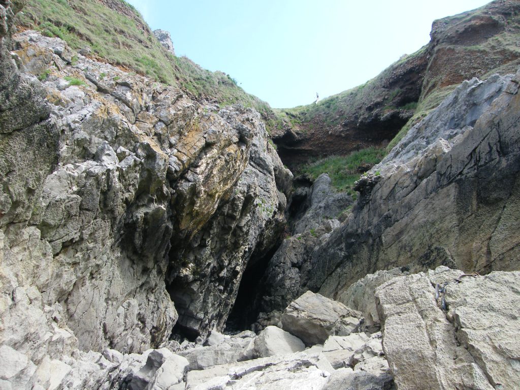
11. Paviland Cave
Paviland cave is of course famous for being the first discovery and orderly excavation of fossilised human remains in Britain. Geologists were excavating the remains of mammoths in the cave when one of them, William Buckland a Reader in Geology at Oxford University, came across a partial human skeleton painted with red ochre and surrounded by shell beads and carved ivory. The conclusion was that it was a female skeleton from Roman times, about 2,000 years old and ‘she’ became known as the Red Lady of Paviland.’ However, with advances in knowledge and radiocarbon dating, we now know that the remains are of a young adult male, one of the early humans to enter Europe about 40,000 years ago and who was buried ceremoniously here. At the time of burial, the cave would have been at about 80m above sea level. Today, it is accessible from beach level only at the lowest tides of the year. Read more about this here [https://rcahmw.gov.uk/paviland-cave-and-the-ice-age-hunters/].